BROCKLEY
NEIGHBOURHOOD IN SOUTH EAST LONDON, ONTARIO
Geographical Boundaries:
The Brockley neighbourhood is bound by Wilton Grove (North), Highbury Ave South (East), Scotland Drive (South) and MacDonald Cartier Highway (West).
Mel's Insights:
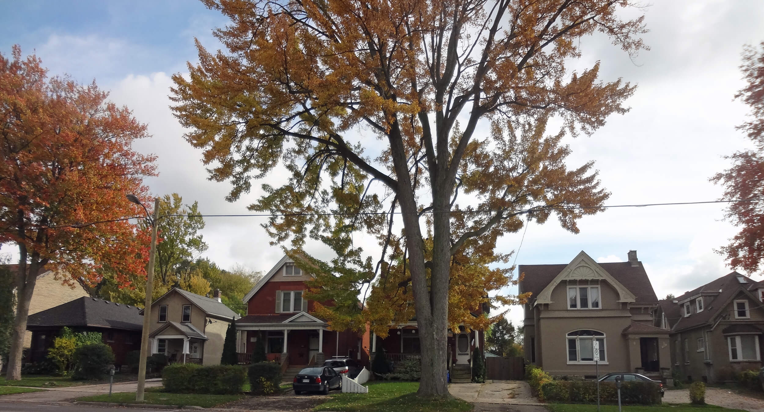
The Brockley neighbourhood is located directly south of the 401 and 402 junction and runs over to Highbury Ave. The area is mainly undeveloped outside of farms and industrial areas, but you can play a game of golf at the Westminster Trails Golf Course. There are no city type 'neighbourhoods' in this area, just housing that consists of farms. Did somebody say "Hobby Farm With Acreage"? This are is the home to the best corridors when travelling from London to St. Thomas with Highbury Ave running right through this area. It may be underdeveloped right now, but this area could prove to be a good investment in future years as the population expands the city limits and people look for some more peace and quiet outside of the city's hustle and bustle.
Quick Facts (courtesy of the City of London)
- 410 people live in Brockley, 8 percent more than in 2006.
- 100 percent of the 145 households are homeowners.
- Half of households have an annual total income of over $61,408.
CLICK HERE to check out the City of London's Neighbourhood Profile for a more in-depth look at the statistics of Brockely.
Trying to Decide Which Neighbourhood is Right For You? I Can Help! GET IN TOUCH and We'll Find the Perfect Neighbourhood to Call Home.


